
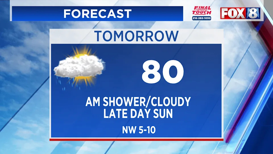
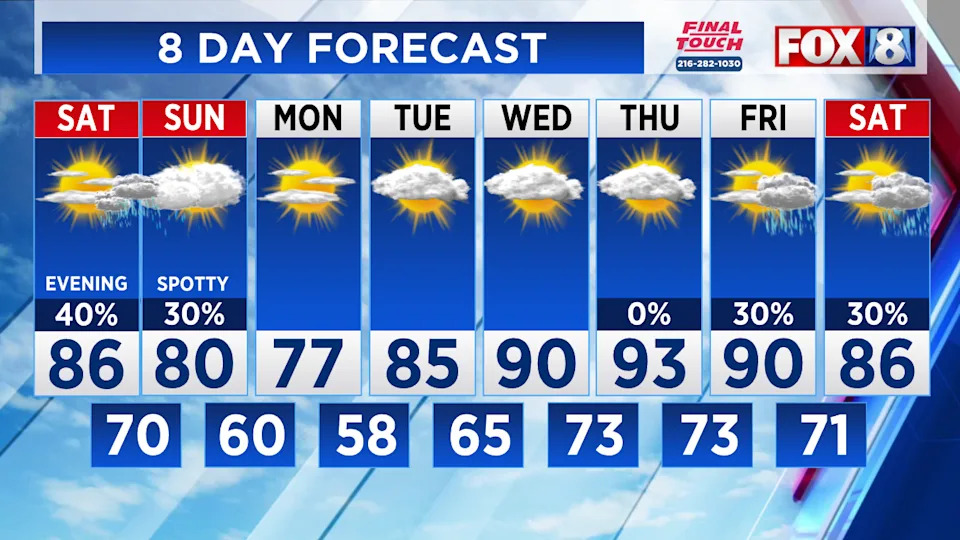
(WJW) — Warmer and more humid air moves in this evening. Partly sunny and dry through the afternoon. By evening, storms develop from west to east. Some will be heavy, strong across western areas.
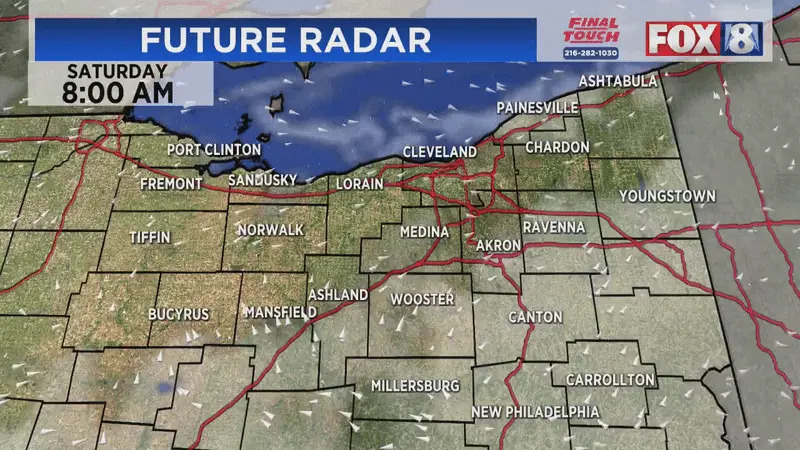
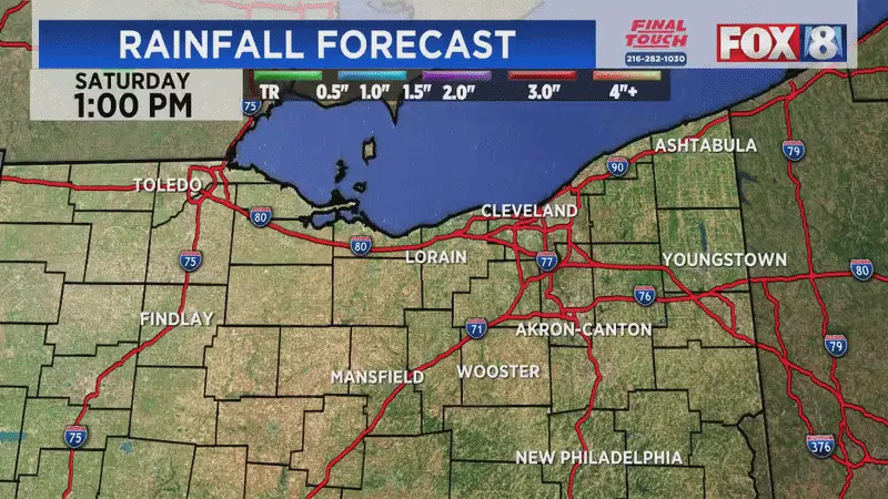
Saturday Futurecast:
Storms with pockets of heavy rain will impact western areas. As the evening continues, storms will partially weaken as they move east. Areas east of a Cleveland/Akron line will have less coverage on storms this evening.
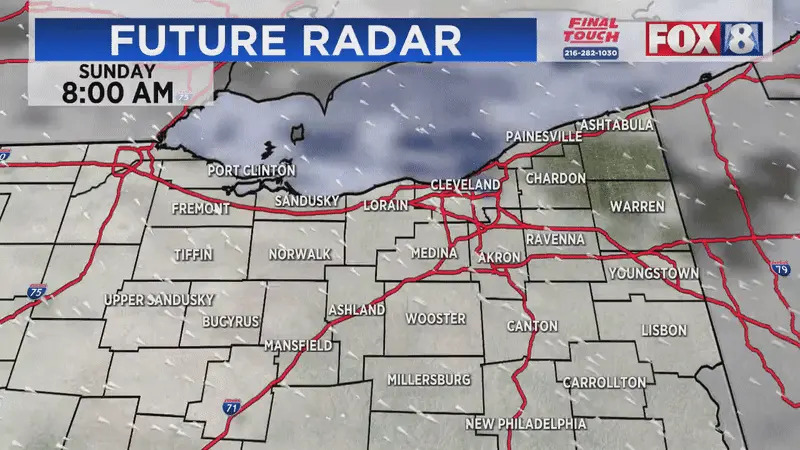
Sunday Futurecast:
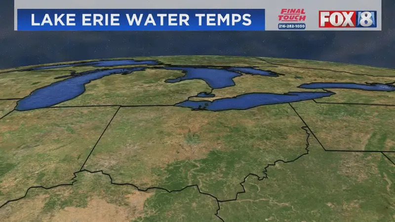
Lake Erie water temperature is tied (2013) for the warmest ever ON THIS DATE. This is after the water temperature lagged behind for most of May and the first half of June.
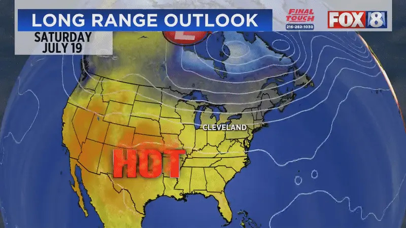
The heat will start to build back into Northeast Ohio towards the middle of next week. Heat backs off the final weekend of July.
Here’s the latest 8-Day Forecast:
Stay up-to-date by downloading the FOX 8 apps, including the new FOX 8 CLE+ streaming app available for free on Amazon Fire, Roku, and Apple TV.
Copyright 2025 Nexstar Media, Inc. All rights reserved. This material may not be published, broadcast, rewritten, or redistributed.
For the latest news, weather, sports, and streaming video, head to Fox 8 Cleveland WJW.
